By Alex Israel
In January, birders around the globe shared their final contributions to the world’s longest-running wildlife census: the Annual Christmas Bird Count (CBC), organized by the National Audubon Society. But for many of us, the Count kicks off a new year full of individual data collection—and thus, community science.
‘Community scientist’ is a loose term with a range of slightly varying definitions—but it universally refers to any non-scientist who publicly participates in scientific research in some way. (Organizations like Audubon are switching over from the ‘citizen scientist’ terminology of yore in favor of this more inclusive nomenclature.)
According to Audubon, the data collected by participants of the CBC over the last 119 years contributes to one of only two large existing pools of information notifying ornithologists and conservation biologists about what conservation action is required to protect birds and the places they need. The other is The Great Backyard Bird Count, which occurs in February.
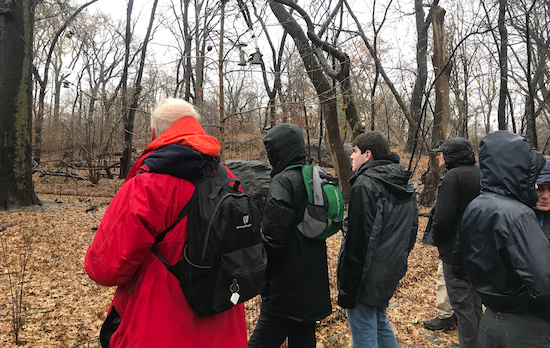
Opportunities for organized data-mining at that scale don’t come every day—but thanks to modern technology and the dedication of community scientists, it is possible to contribute to conservation efforts individually by collecting and sharing important data year-round.
With the spring migration upon us, here’s how Upper West Side community scientists can do their part to participate in important data collection on the UWS and throughout the city.
eBird
One is eBird: a bird tracking app managed by the Cornell Lab of Ornithology, a member-supported unit of Cornell University dedicated to advancing the understanding and protection of the natural world.
Cornell created the app “on behalf of the birding, research, and conservation communities to provide a rich and rapidly growing global database of bird sightings,” according to their site. eBird’s premise is simple—using the desktop site or mobile app, community scientists can create and share ‘checklists’ of bird species that they have seen during a specific timeframe across ‘hotspots’ around the world.
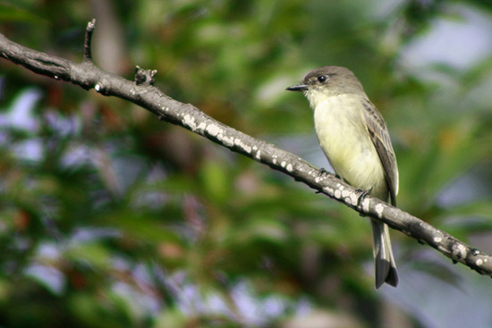
The tool can be used to track a route and build a list in real-time with mobile data or a WiFi connection. In the absence of a mobile connection, users can upload lists and their locations at a later point. Users can also access weekly, monthly, and yearly summaries of their sightings, and easily keep track of the amount of unique species they’ve seen.
eBird has become a useful tool for both scientists and birders: scientists are currently using the data to answer a multitude of ecological questions; it’s also been scientifically shown that the more birders use eBird, the better their ability to detect cryptic and difficult-to-identify species becomes.
On the Upper West Side, eBird usage is booming. Central Park is Manhattan’s hottest hotspot by far, boasting 264 species among more than 15,000 checklists through March 2019. Still, it doesn’t hurt to spread the word—the more data submitted to eBird, the more useful the database becomes.
D-Bird
The other, slightly more morbid—but just as important—community science tool is D-Bird: a bird mortality database powered by NYC Audubon, an independent non-profit affiliated with the National Audubon Society.
Every year, between 90,000 and 230,000 birds are killed in New York City alone, according to NYC Audubon. More than 100 migratory species, who make their journeys in the dark of night during spring and fall, are drawn in by the city’s brightness—and then injured as they attempt to fly into the reflective or transparent exteriors of tall buildings, thinking it’s the way toward more sky or trees. A recent study published by the Cornell Lab of Ornithology listed New York as the eighth most dangerous city for spring bird collisions, and fifth most dangerous in the fall.
D-Bird is an integral part of NYC Audubon’s Project Safe Flight, a program started in 1997 that aims to protect these birds from the dangers of New York City’s detrimental lights and glass buildings. The database relies on public contributions, which help to inform conservationists’ understanding of urban bird collisions, allowing them to develop new calls for regulatory change and inform bird-friendly building design recommendations. So far, more than 6,500 dead and injured birds have been collected and documented.
Explore a sample of D-Bird data using the interactive map above.
Some of these contributions come from a group of Project Safe Flight volunteers (disclosure: this writer is one of them), who patrol the streets of New York during spring and fall migration to search for dead and injured birds along predetermined routes with particularly problematic buildings. Injured birds are brought to local animal care centers or rehabilitators, like our friendly neighborhood Wild Bird Fund; dead birds are collected and transferred to various natural history museums and research institutions.
But anyone can and should report dead or injured birds to D-Bird, which requires as little information as location and date, with the opportunity to add as much information as possible, including species, age, and sex. If an injured adult bird is spotted, the community scientist should first contact a wildlife rehabilitator, and then plan to safely transport the bird in a paper bag or small box with holes in it, if possible.
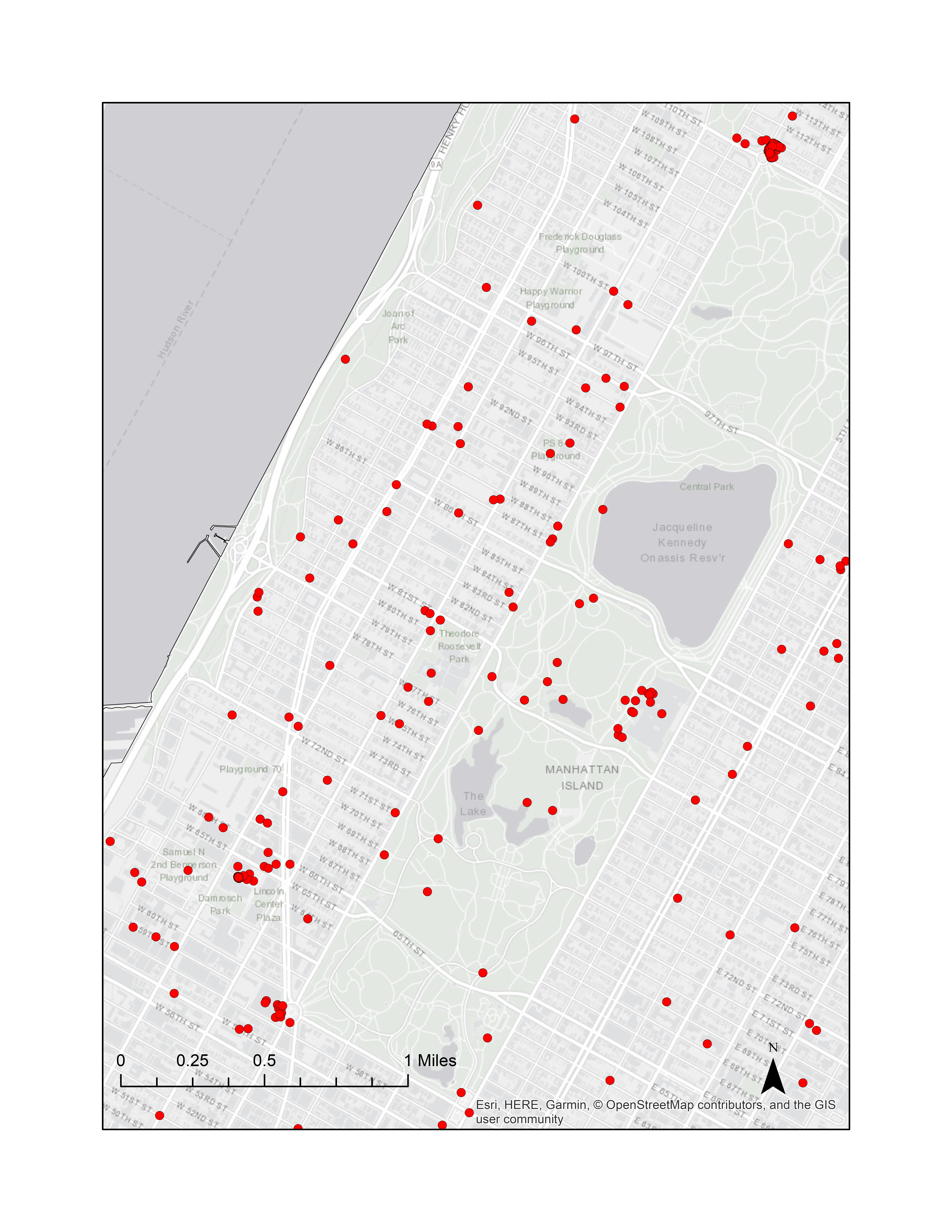
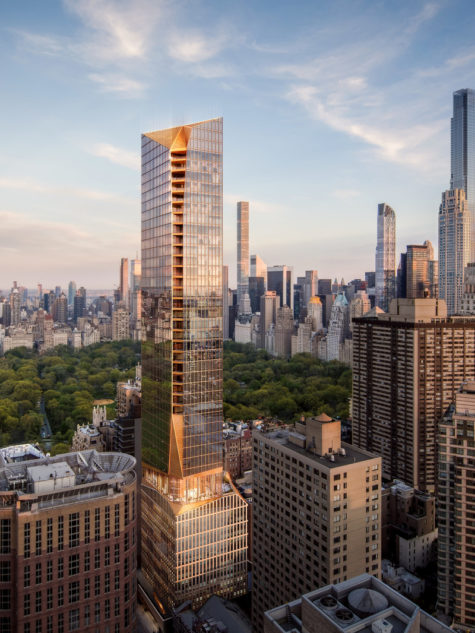
Kaitlyn Parkins, a Conservation Biologist with NYC Audubon, estimated that approximately 230 dead or injured birds have been reported on the West Side of Manhattan between 59th and 110th Street as of January 2019. So where should readers be most vigilant? While formal Project Safe Flight collision monitoring has not been conducted on the Upper West Side, when asked about local problem areas, Parkins pointed to two particularly dense areas on the map: one at The New York Public Library for the Performing Arts at 40 Lincoln Center Plaza, and another at CIRCA, a luxury residential building at 285 West 110th St. (The Time Warner Center at 10 Columbus Circle also appears to have a high concentration of reports, according to the map.)
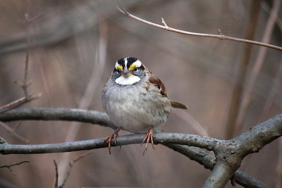
As community scientists, our collective efforts add up. In recent months, Cornell and NYC Audubon have used their data—which includes the inputs from eBird and D-bird—to rally lawmakers to support new, potentially life-saving legislation.
In January, New York State Assemblymember Deborah Glick, who represents the 66th Assembly District in lower Manhattan, re-introduced a bill that proposes mandatory building safety measures including bird friendly building glass or construction and design techniques. The bill was originally introduced in 2017, and stalled in committee.
Around the same time, New York State Senator Brad Hoylman, who represents the 27th Senate District in central Manhattan and part of the Upper West Side, proposed the “bird-friendly building council act,” a bill to establish a council to promote the use of bird-friendly building materials and design features in buildings.
In March, five local lawmakers, including City Council Member Helen Rosenthal, sponsored a bill in the New York City Council that would amend the New York City building code to require 90 percent of all glass installed on newly constructed or altered buildings be treated to reduce bird strike fatalities.
Apps like eBird and D-Bird may seem like small efforts. But information is the backbone for change—and only with our collective support can change take flight.
This is the second installation of ‘The Bird Bulletin,’ a recurring series featuring topics about birds and the people who love, chase, and help them on the Upper West Side.



Thank you for this informative article and I look forward to reading additional installation’s. We are so fortunate to have such a beautiful and diverse population of birds right in our Central Park backyard.