
By Rob Garber for the Bloomingdale Neighborhood History Group
Welcome to another installment in the Rag’s Historical Photo Challenge. The images above were taken somewhere on the Upper West Side, sometime in the past. Can you figure out where, when, and what they show? Look closely; this week’s challenge photos, like the others in the series, include clues that will help you identify the scene, if you’re a dedicated UWS history sleuth. And even if you don’t recognize the pictures—not to worry! Come back in two weeks and I’ll decode them, show you the clues that help identify them, and—best of all—tell you a story the images unlock, because this column isn’t just a test of your neighborhood knowledge; it’s also a rolling celebration of the people, buildings and events that wove the tapestry of the Upper West Side.
Ready? If you think you know where and when the photos were taken and what they show, post your answer as a comment on this column.
Solution to Historical Photo Challenge #10
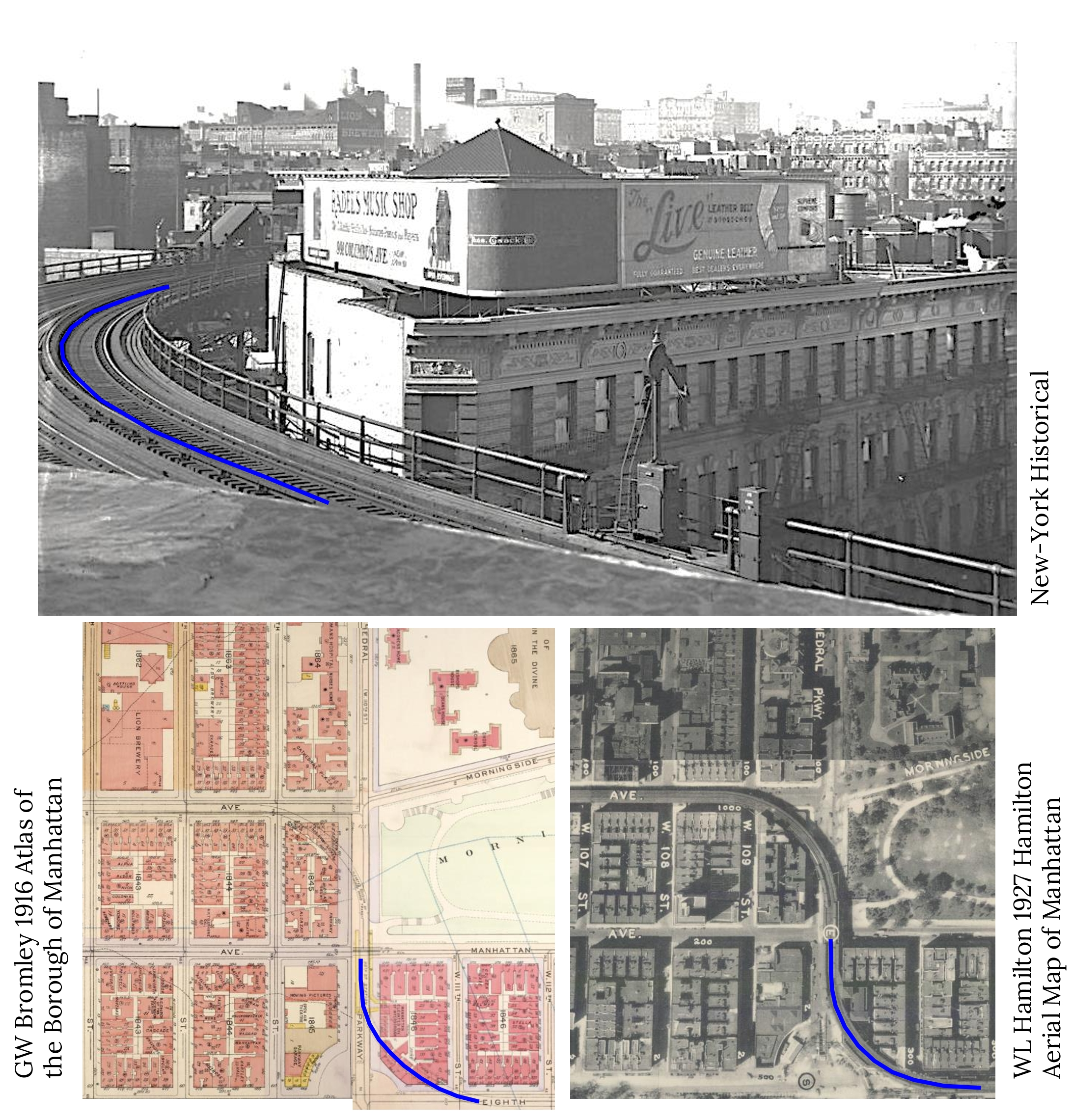
Subject: El and Lion Brewery
Location: Eighth Avenue and West 110th Street
Year: 1922
Image Source: New York Historical
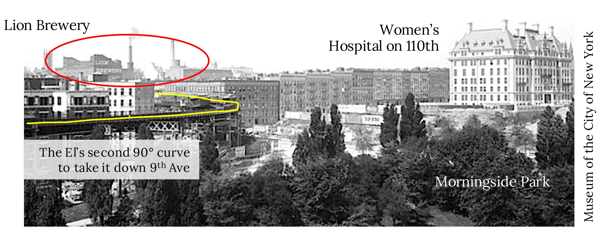
Clues: Be careful—this is the El at 110th Street, all right. But remember there were two sharp curves required to move the tracks from 8th Avenue to 9th Avenue (aka Columbus Avenue). Most old photos and postcards of the “suicide curve” at 110th Street show the curve at 9th Avenue, but this is the other one. Imagine living in that top-floor apartment at 300 West 111th! And the real reason that I selected this image is hiding in plain sight: the excellent but distant view of the Lion Brewery.
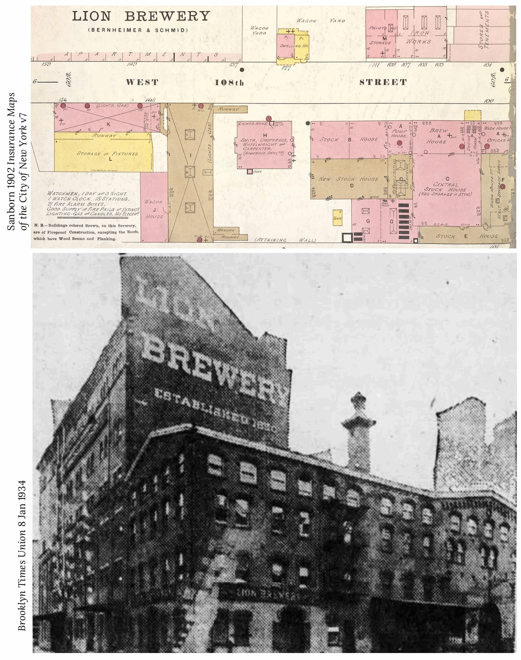
The Rest of the Story: The Lion Brewery complex was built uptown in the 1860s because of the abundant empty space still available in this part of the island. It was a major employer of blue-collar German and Irish workers living in the neighborhood. By 1915, the brewery was surrounded by shops, garages, and tenements. Developers complained that its noise and smells discouraged investment in the kind of apartment buildings they wanted to erect. The Lion held its own in the highly competitive New York City brewery industry for decades, but barely survived Prohibition before falling under the wrecking ball in 1944. Infrastructure excavations continue to turn up elements of the massive beer campus.

Shoutout to readers: recognizing the 9th Avenue El at 110th Street wasn’t much of a challenge for you, and most Ragamuffins also realized that the downtown view and the tracks curving to the right rather than the left meant that this image was taken at 8th Avenue, not 9th. Hat tip to Charles Denholm, Jack, and Ira Finkelstein for spying the Lion Brewery even though I blurred the name on the side of the building, as Bob noted. And kudos to Sue for nailing the date as the early 1920s—there weren’t many date clues, but the Radel’s Music Shop sign that caught the attention of several readers helped place it in the 1920s, when Morris Radel owned stores selling radios and record players on St Mark’s Place and at 991 Columbus Avenue.
…and that’s the story behind the mystery image. Now scroll back to the top of the column and take on your next challenge, Sherlockians! If you’ve missed any pictures in this series, here is the complete collection.
About the author: Rob Garber has lived on the Upper West Side since the late 20th century and is a member of the Bloomingdale Neighborhood History Group. To learn more, visit their website at upperwestsidehistory.org. All photos in Upper West Side Historical Photo Challenge are used by permission.
Subscribe to West Side Rag’s FREE email newsletter here. And you can Support the Rag here.


Museum of Natural History expansion?
Looks like the construction of the rear courtyard and heating plant at t he Dakota, ca. 1883.
Yes, this is it. If you look at old tax maps it is labeled “boiler room”.
Bingo. I agree.
hi: where to find past solutions that we missed? THANKS!
https://www.westsiderag.com/author/rob-garber
Check under his profile, you’ll find all of his older posts
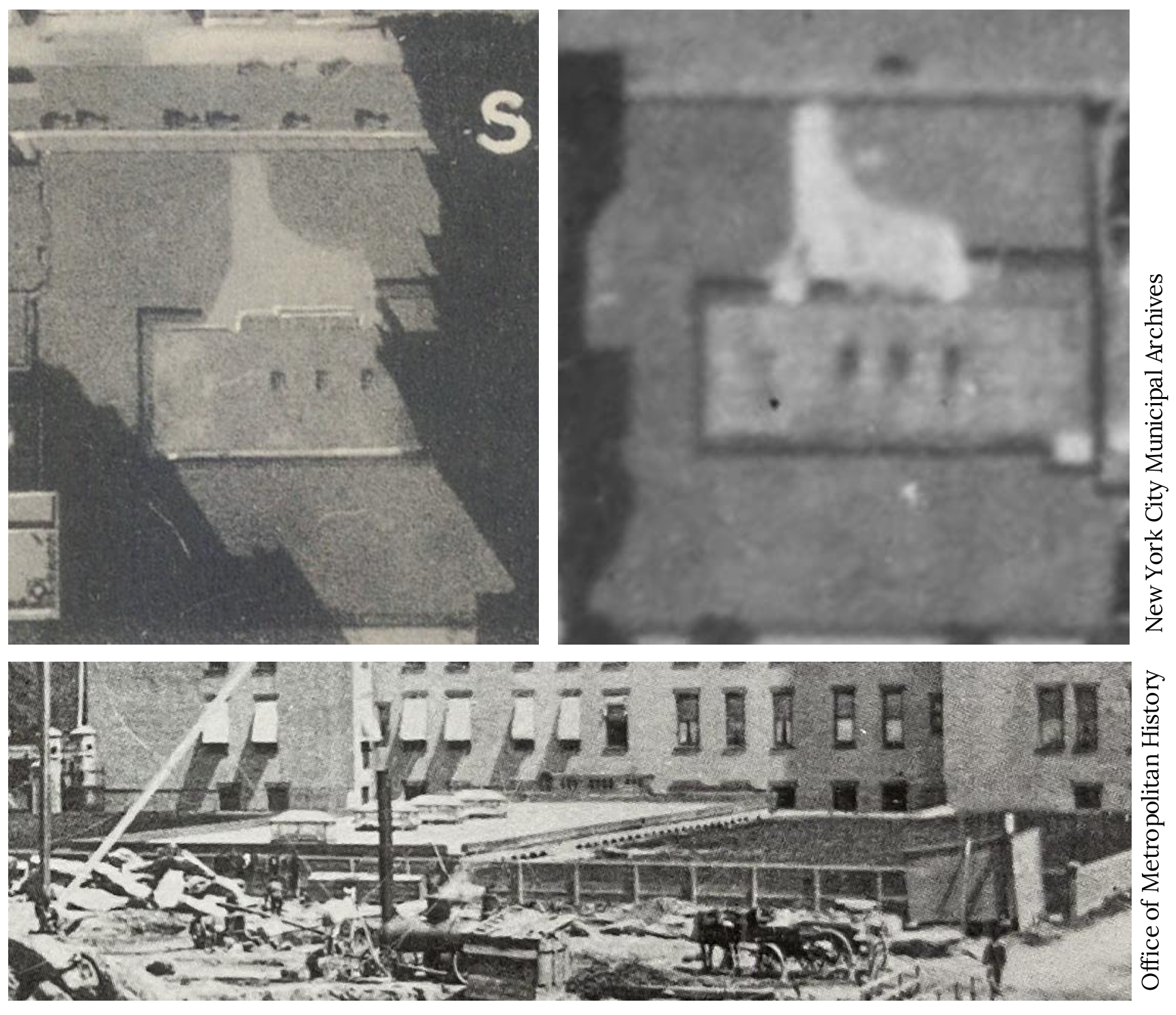
This is really puzzling. The top 2 photos appear to be bird’s-eye (or plan) views of a street (running left/right at the top) and a grand piano-shaped driveway leading to a very low rectangular space with 3 or 4 rectangular objects sitting on it. I say the large rectangular space is low because it’s not casting much of a shadow, very much less than the adjacent (unseen) neighbor buildings are doing. Similarly, the 3-4 smaller rectangles are also fairly low, again casting very little shadow. And the lower photo seems to be a side view of that larger low rectangle with the now-4 smaller rectangles looking like skylights. The large rectangle looks like the top of a building, except it’s recessed into the ground and only protruding above street level by maybe 6 feet (referenced by the nearby fence and horse-drawn thing we see.) But WHERE this is and WHAT this is… I’m clueless. Fascinating…
Carl: I really don’t see what you are describing in the picture. The top 2 pictures look like masonry with indentations or vents in them. Due to the amount of debris lying around in the lower picture it does not look to me like a construction site but rather a demolition or accident site. There is a horse and wagon in the picture but there is also a locomotive. This looks to me like the demoltion of a street level railroad of some kind. To be using a horse for this type of work suggests the late 19th or very early 20th Century.
Excelente photos of my neigbohh
Demolition of Edgar Allan Poe’s house on 84th between Broadway and WEA.
Shot in the dark, LOL